m142072
inconnu; IRPA • 1979

Number negativeM142072
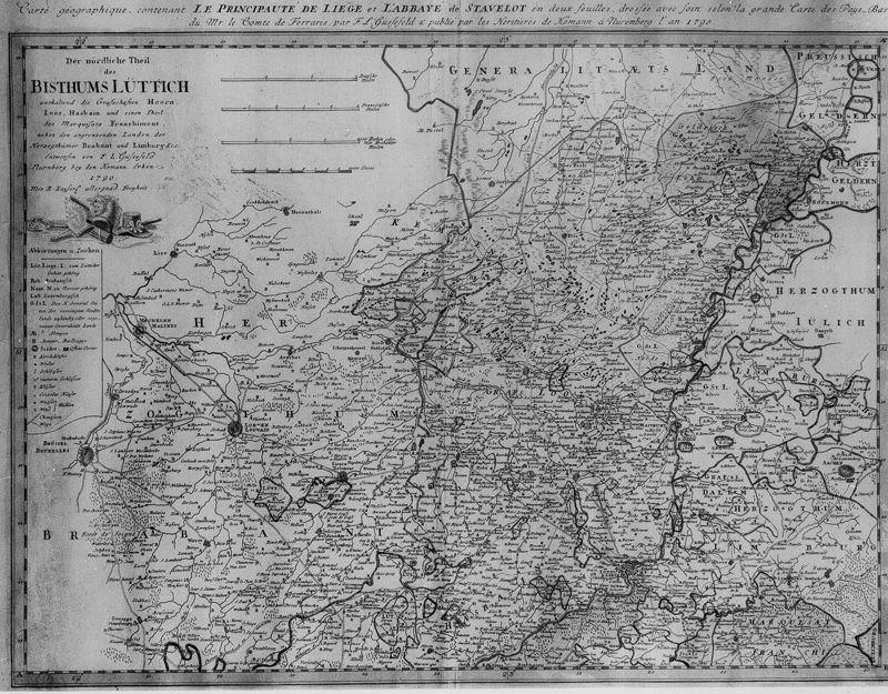
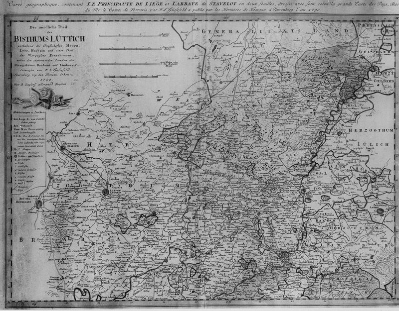
TitleCarte géographique de la Principauté de Liège et de l'abbaye de Stavelot en deux feuilles, dressées avec soin selon la carte des Pays-Bas de Mr le comte de Ferraris par L.F. Güssefeld et publiée par les hétitiers de Homann à Nuremberg l'an 1790
Photographer
Date taken1979
Location (object)Stavelot[localité]
Persistent identifier
Technical Information
Content & Subject Matter
Keywords
Rights & terms of use


How to cite
inconnu, IRPA. (n.d.). Photo m142072 [Photograph]. KIK-IRPA. https://hdl.handle.net/20.500.14037/photo.m142072