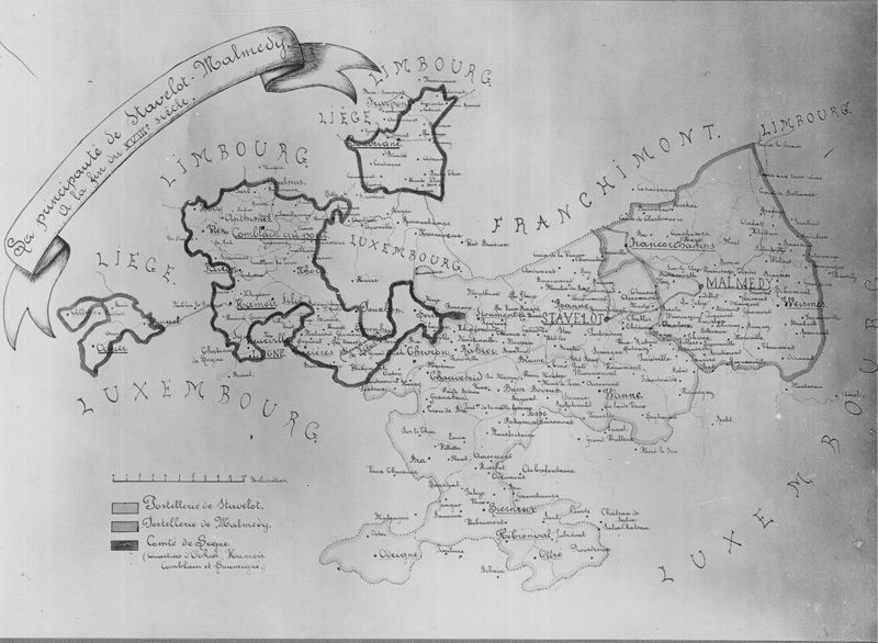
Carte de la principauté de Stavelot-Malmedy à la fin du XVIIIe siècle

 CC BY 4.0KIK-IRPA, Brussels (Belgium), cliché B009015
TitleCarte de la principauté de Stavelot-Malmedy à la fin du XVIIIe siècle
Object number10153950
LocationStavelot
Object name
Persistent identifier
Production & Dating
Creator
Creation date
1901 (ca) - 1910 (ca)
Physical Properties
Materials
Rights & terms of use
Metadata CC0
CC0
CC0This public domain dedication applies to the metadata only. Associated photographs may have their own license or copyright status.
How to cite
KIK-IRPA. (2009). Carte de la principauté de Stavelot-Malmedy à la fin du XVIIIe siècle [Object metadata]. https://hdl.handle.net/20.500.14037/object.10153950